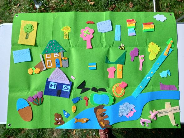
The health of a river can be measured in multiple different ways – you can consider the quality of the water in the river, in terms of the chemicals it contains, and the ecological health of the river, considering the plants, bugs, fish and other wildlife which make their home in the river, and the conditions, such as flow regimes, nutrient levels, and temperature that they need to thrive.
A key set of evidence used to assess the health of rivers across the country is the Water Framework Directive (WFD). The ‘status’ of a water body is measured by the Environment Agency using a series of parameters and is recorded on the scale high, good, moderate, poor or bad. A status of moderate or below indicates that a river is failing against the criteria for a healthy river and action is needed to reduce pressures and bring the water body back to a good condition. Variations on this system are also used for assessing the health of other types of water body such as lakes, estuaries and groundwater.
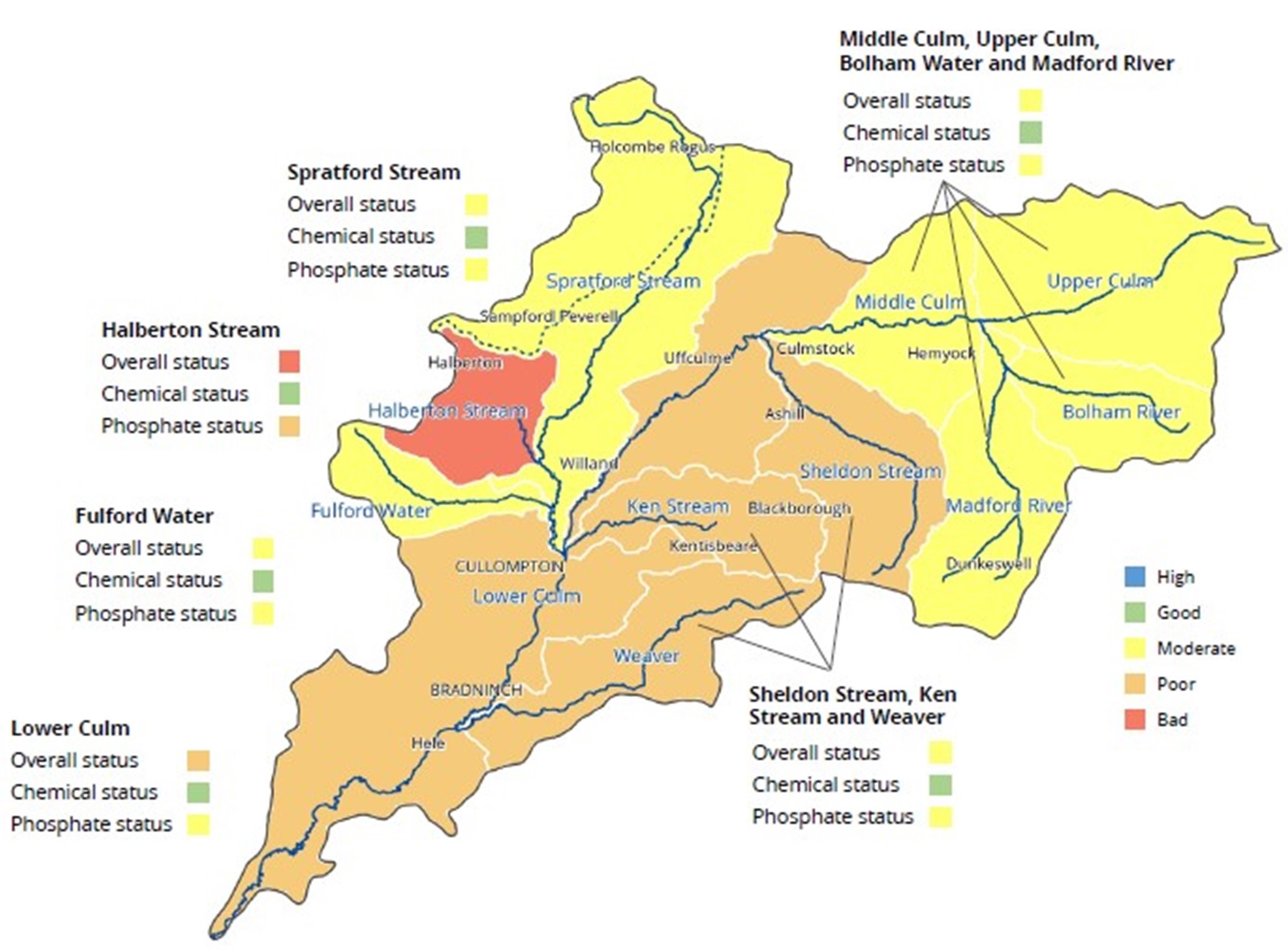
You can access an interactive map of the Culm’s WFD results here. Click on the plus signs on the map to find out how each part of the river and its tributaries was performing in 2016 (the latest set of data available).

The Water Framework Directive classifications
WFD is a ‘hierarchical’ system, where different indicators of health are assessed and are brought together into broader categories. The highest level of assessment is the overall status, which brings together all the other levels of assessment. In WFD, if one element of the river’s health is assessed as not reaching the required healthy level, then the river will not be able to be assessed as at good or high status overall.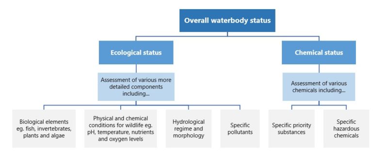
In the Culm catchment, there are 11 water bodies which are assessed under WFD. The River Culm itself is split up into three sections for assessment – lower, middle and upper. The map below shows the overall status of the water bodies under WFD. Clicking the link on each water body will show the ecological and chemical status, and a few of the contributing elements for ecological status.
All of the 11 water bodies in the Culm Catchment are failing under the Water Framework Directive assessment of river health. The chemical status of all the water bodies is good, but various elements of the ecological health of the different rivers are not in good condition.
This means that all of the rivers in the Connecting the Culm area are under pressure, and action needs to be taken to reduce pressures and improve the health of the rivers.
To take this action, it is important to investigate why rivers are not in a healthy condition. For each river which is not reaching good status, the Environment Agency also publish a set of information with the issues and pressures the river is facing and the type of activities and sectors that are responsible. It is a complex set of data, but one way of representing the information is in a table of issues against sector assessed to be responsible. These tables can be viewed by clicking the link on each water body and clicking the across arrow. The numbers represent the number of reasons the water body is failing to reach good status.
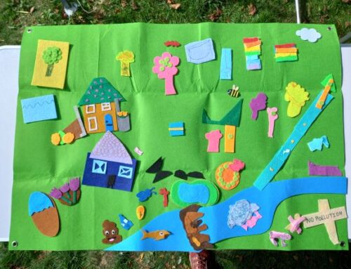
Pollution from rural areas as a result of agriculture and rural land management is the most common reason for the rivers in the Culm catchment to not be in a healthy condition. Other issues include physical modifications to the river, pollution from waste water and pollution from towns and transport.
The Water Framework Directive is one source of data and information about the health of our rivers, but there are many other sources of evidence which can be layered up, compared and investigated to gain a fuller picture of what is going on in our rivers and across the land which drains into them. In the Connecting the Culm project we will be undertaking a detailed review of available environmental data and evidence to improve our understanding of the rivers and to steer the work within the project. Check back in the coming weeks and months to see more posts, maps, and information about the River Culm and its catchment.

Leave A Comment