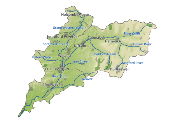
The River Culm and its catchment
The River Culm is 40km in length and the longest tributary of the River Exe. It runs from its source at Culmhead in the Blackdown Hills to join the River Exe just north of Exeter. In total, the Culm and its tributaries drain 100 square miles of South Somerset, and Mid and East Devon, 87% of which is agricultural land, 9% woodland and 4% the built environment.
Approximately 30,000 people live in the catchment, many of these in the main town of Cullompton.
Challenges facing the River Culm
The River Culm and its catchment face a number of environmental problems. Many of these problems have been growing in scale and impact for decades, and many are now intensifying yet further with climate change. They are:
Increased frequency and scale of flooding
Increased frequency and scale of drought
Decreasing water quality
Decreasing biodiversity
People’s loss of connection to the river
The Connecting the Culm project has identified many of the underlying causes of these problems (see ‘How is the River Culm performing?’) and the steps we can take to improve the situation.
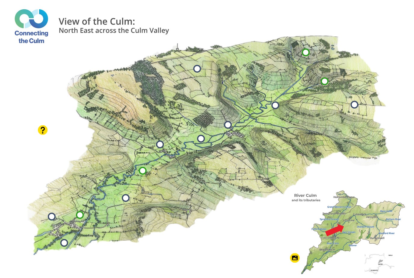
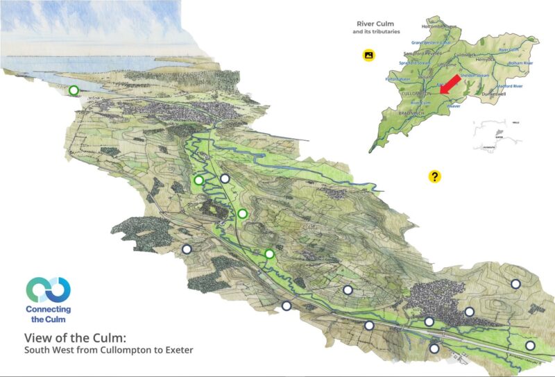
Discover the issues that affect the River Culm
Use the interactive tool to explore the key issues
Click on the images below and find out more about how climate change and other forces are impacting on the river and the people and nature that depend upon it. When you click on the yellow picture image you can toggle to the other landscape view.