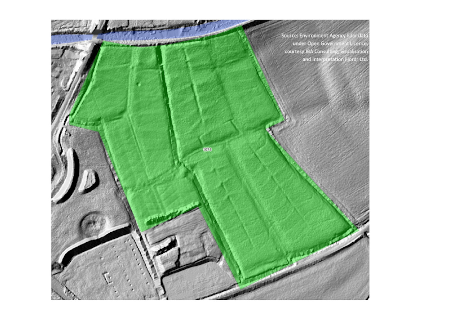
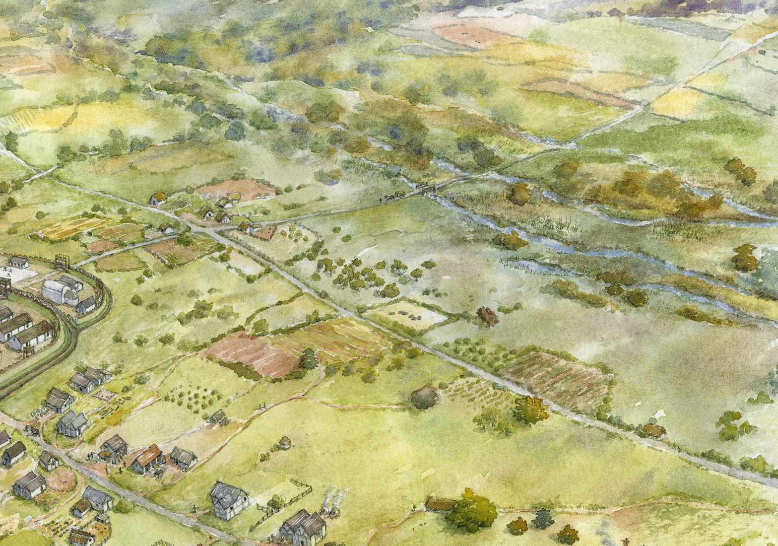
The image above uses lidar data – obtained by laser scanning the landscape from an aircraft to show features that are difficult to see from the ground. Here, in fields near Sampford Peverell, you can see a complex system of small ditches that was probably constructed in the early 1800s to irrigate pastures with nutrient-rich water.
The image comes from research carried out by Fjordr Limited to better understand the history and archaeology of the River Culm. The work has been funded by Historic England to make it easier to find out about the long history of human influence on rivers. Using GIS, Fjordr has mapped and recorded over 1200 ‘Historic Watercourse Polygons’ (HWPs) across the whole catchment of the Culm and its tributaries. The HWPs have been identified from historic maps, lidar data, and a range of other archaeological and historical sources. They show places where there is evidence for people using the river and changing it to meet their needs at different points in time.
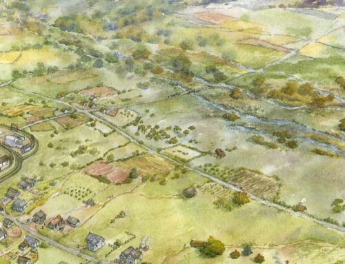
Apart from obvious modern alterations, the River Culm might appear quite timeless. In fact, the river has changed extensively not just over the last hundred years or so, but over many centuries. Although historic maps may date back only to the 1840s, they often show features in the landscape that are likely to be much older, reaching back to Medieval times. The human history of the river is much older still – it would have been important right back into prehistory – but direct evidence is harder to find from the desk-based sources we have been using. However, it is likely that changes in how the landscape was used many thousands of years ago would have altered how water and sediment flowed through the catchment, and this would have changed both the river and the floodplain in significant ways. The character and richness of the Culm floodplain probably reflects several millennia of looking after meadows for hay and pasture, and maintaining woodland resources such as willow for withies and alder for dye.
The River Culm was very important as a source of waterpower from the Medieval period right through to the Twentieth Century. We have been identifying the extensive systems of leats – channels that brought water from the river and returned it downstream – which were essential for the mills to operate. Some of the changes made to the river to enable watermills to work can still be seen even if the mills themselves no longer survive.
Antony Firth, Fjordr Limited

Lower Mill, Cullompton
A major change that probably took place in the Culm catchment in the 1700s and 1800s was the construction of water meadows: ‘catchworks’ on valley sides; and ‘bedworks’ on the floodplain. These required complex systems of ditches to spread water over the land and then collect it back together. The thin sheet of flowing water increased the productivity of the land. Although costly to construct and maintain, bedworks and catchworks were introduced widely across the Culm catchment and can be seen in lidar data.
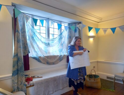
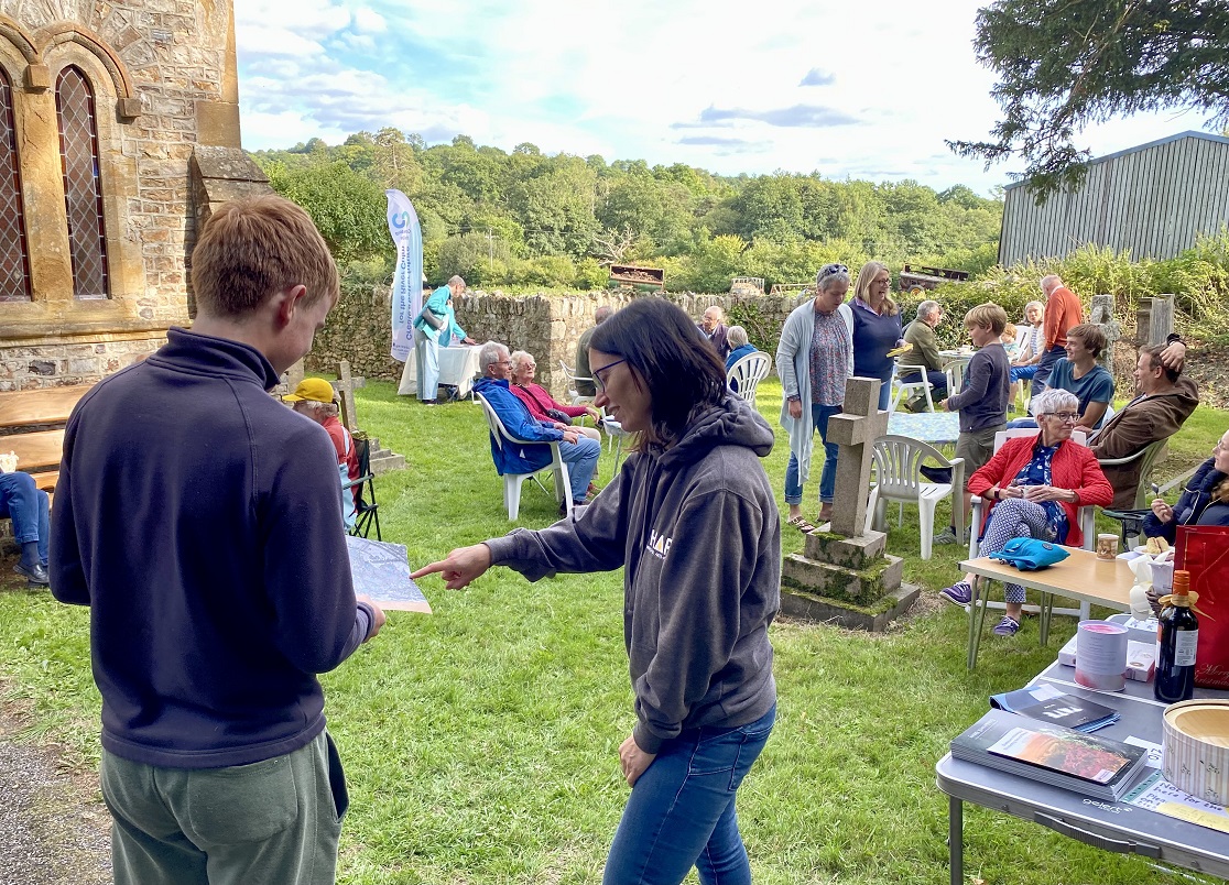
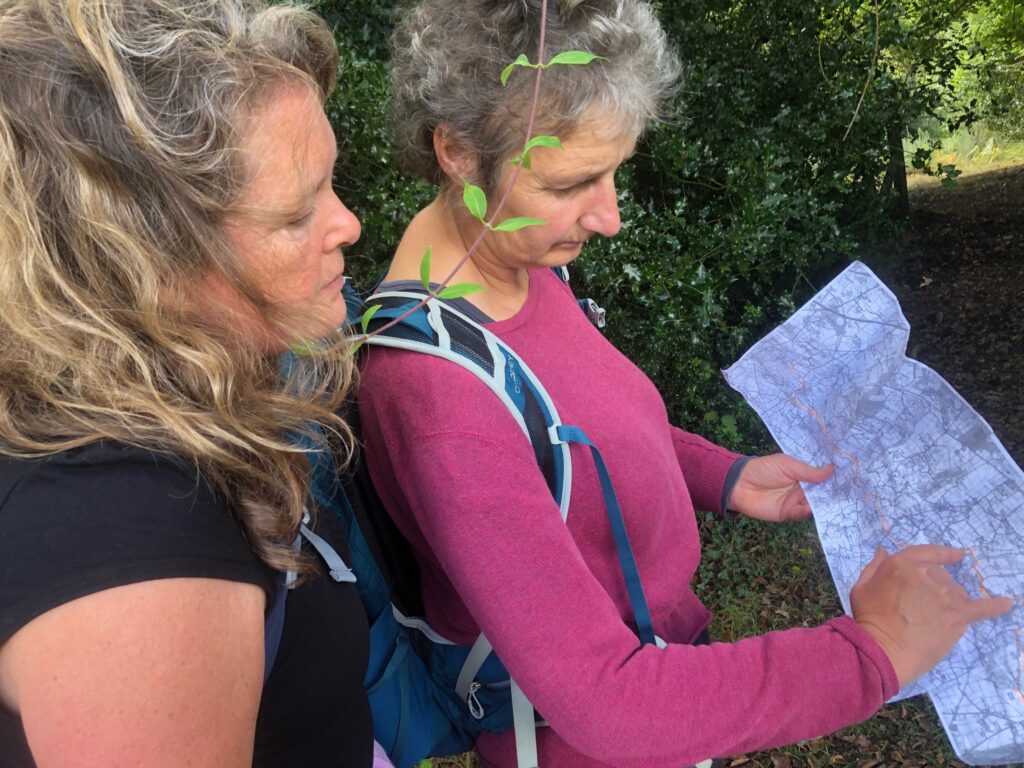
Bringing data about the history of the River Culm together in one place will make it easier to understand the condition of the river and help in deciding how to address current issues. This knowledge will be shared with stakeholders and communities so that Connecting the Culm can arrive at solutions that go with the grain of the historic river. We will provide more details of this process on the website as Connecting the Culm progresses.

Leave A Comment