Dr Antony Firth of Fjordr Ltd recently gave us a fascinating presentation about Fjordr’s work researching historic features along the length of the River Culm, including the larger part of many of its tributaries. The research was funded by Historic England and aimed “to improve management of the River Culm and its heritage and support collaborative engagement with the public”, by:
- understanding the watercourse context of known heritage assets
- identifying previously unrecorded heritage assets associated with the watercourses
- identifying traces of watercourse-related physical activities
- understanding the watercourse as an artefact in its own right
- looking at changing relationships between people and watercourses.
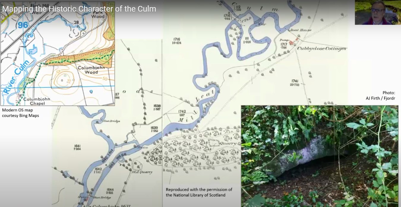
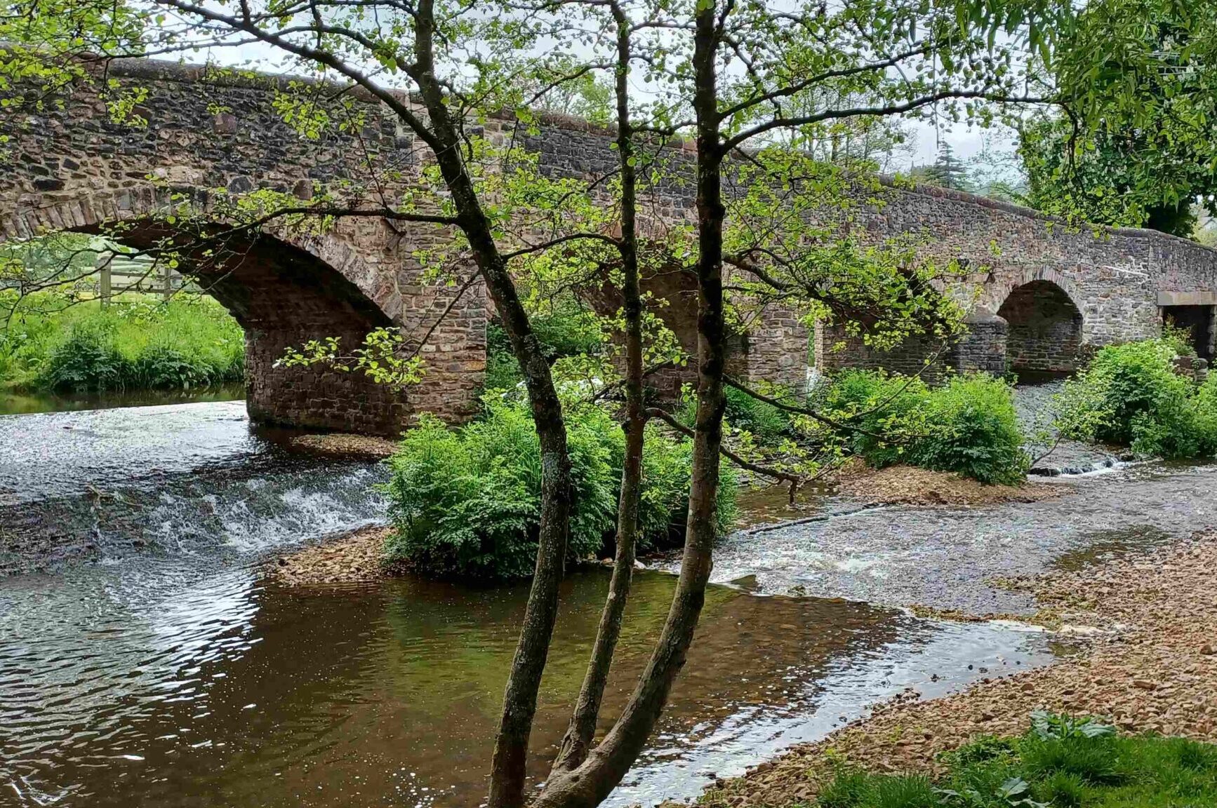
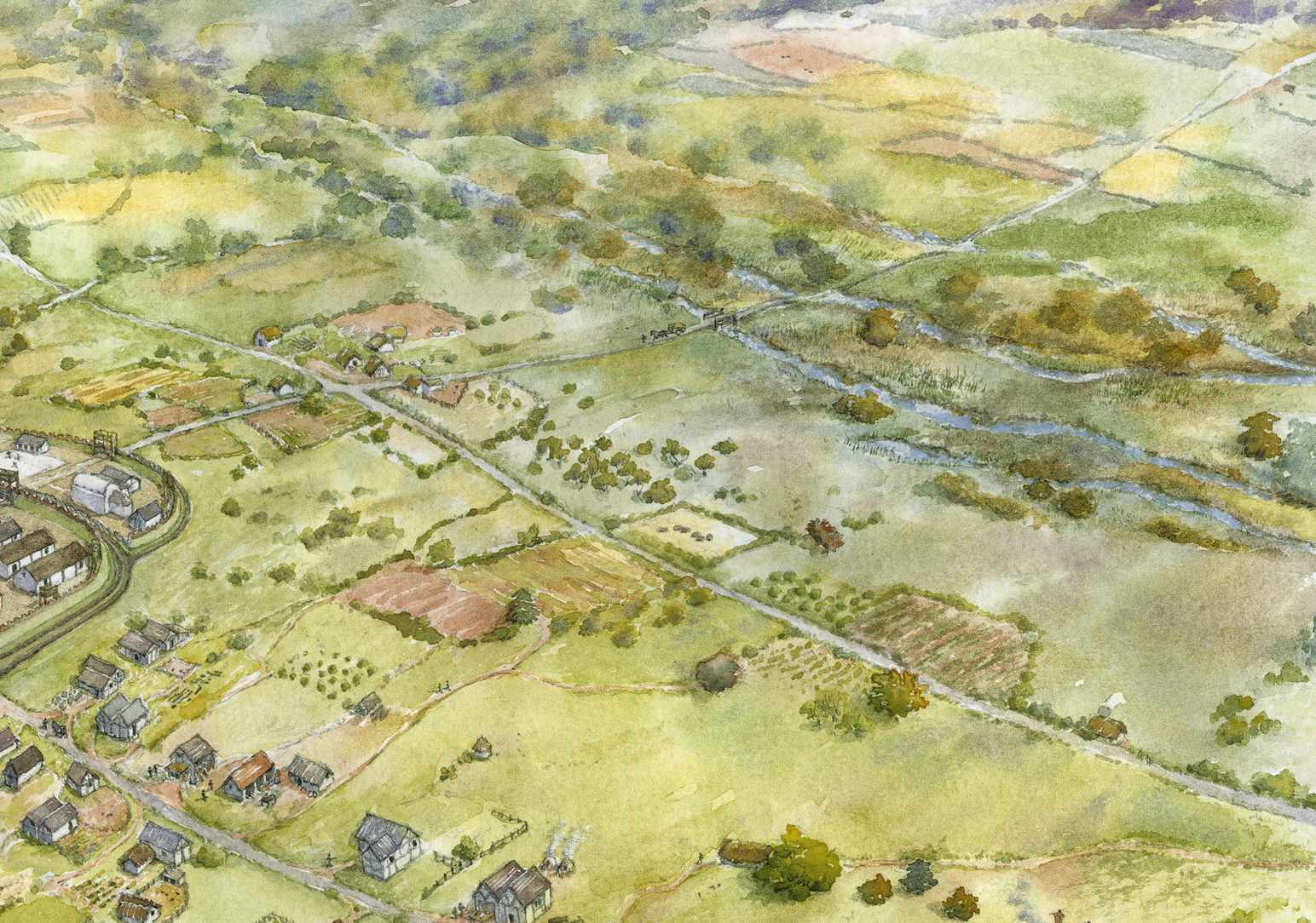
The project researched multiple sources of evidence, including from tithe maps, 1880 OS maps, Lidar data, vertical photography and non-mapped historic records. The resulting combined record gives an overview of how the river has been adapted by humans repeatedly over the centuries, from irrigating fields and livestock, to generating power, to accommodating new transport systems and protecting against flooding. Based on this evidence Fjordr has mapped over 1200 “Historic Watercourse Polygons” which show the location and broad nature of potential historic environment features of interest. These can then help focus effort on further research and fieldwork to understand the historic record in the landscape and as a first step to assessing the impacts of proposed work on the historic environment.
This video is a recording of the event.
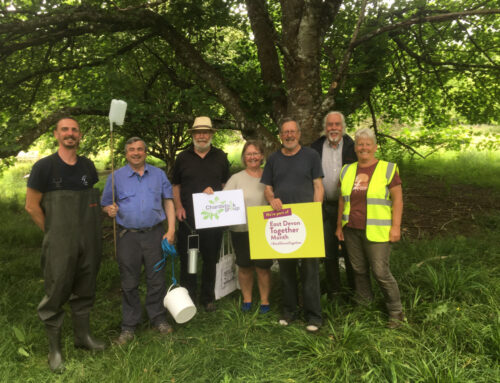
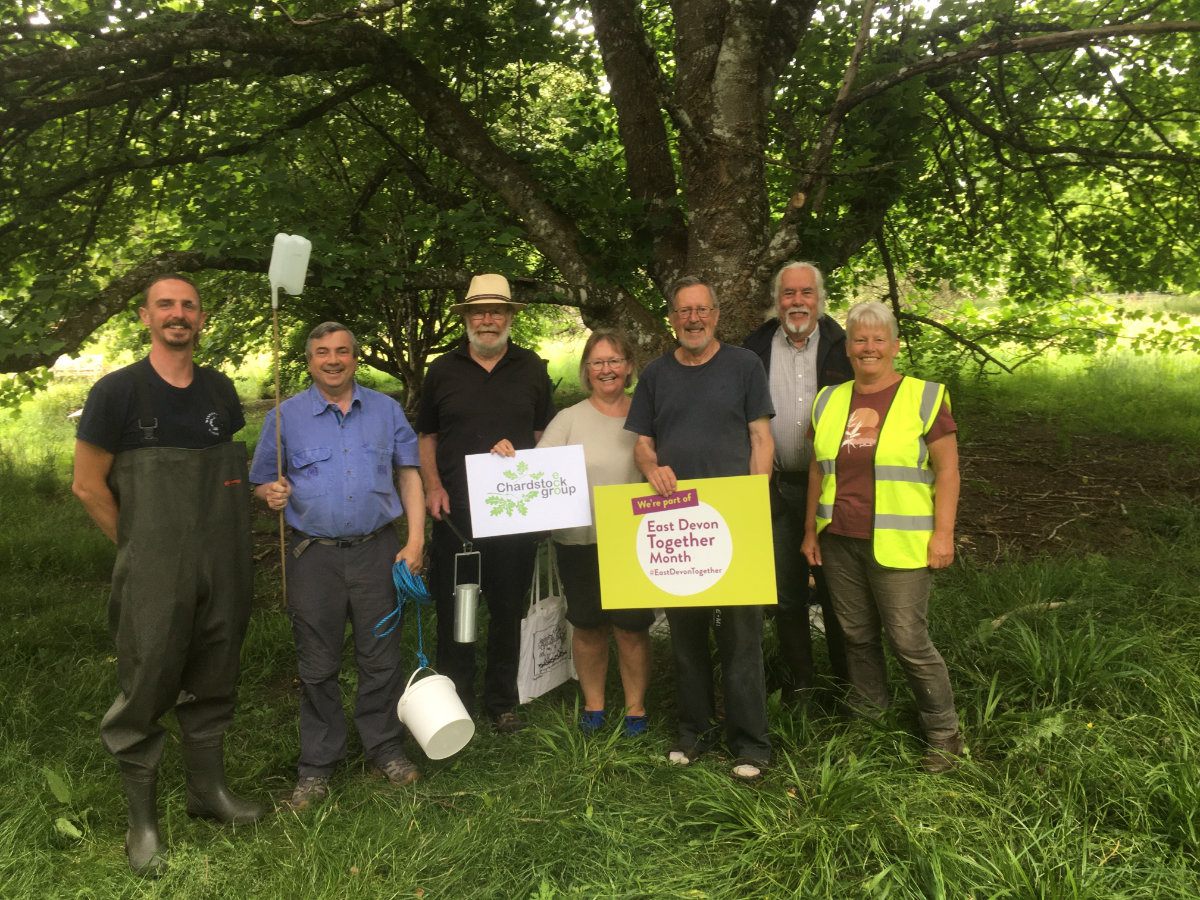
There was a lot of interest at the meeting in getting involved in fieldwork, carrying out further research and building up a photographic record of historic features along the river. If you’re interested in taking part in this kind of work, let us know by filling out the form below.

Leave A Comment