From evidence reviewing to nature-based solution co-creating – why & how it happens
Some keen followers of the Connecting the Culm project may have seen our ‘Environmental Evidence Review’ (EER) on the website or attended one of our online events where parts of the EER have been presented or discussed. If you haven’t already, check out our accessible summary here. But how do we get from that to co-creating ‘nature-based solutions’ (NBS); and why are those important? This article provides an accessible overview of the process, as well as details of some of the NBS co-creation that’s been happening over the last 12 months (a bit slower than planned due to COVID).
Why do we need NBS?
The EER gathers together a massive amount of data on the quantity and quality of various aspects of the Culm catchment – soils, water, carbon, landscape types, land uses, vegetation, wildlife, people and much more. Through the assessment of all these aspects maps and computer models can be produced to illustrate and understand where parts of the catchment may have low resilience and be at risk of issues such as flooding, drought, poor water quality, poor biodiversity or low in carbon storage potential. NBS can be considered as part of a wider toolkit to reduce the impacts and consequences of these risks through supporting and enhancing the functioning and performance of the natural environment. They are techniques that restore or mimic natural processes – such as enabling water to be absorbed into the ground better (improve infiltration) or slowing the flow of water through a catchment to reduce the likelihood or extent to which the river channel gets overwhelmed (peak flow reduction). More information on NBS here.

How do we get from evidence reviewing to NBS co-creating?
All of the data, information and knowledge gathered, maps created and models generated were reviewed by the CtC project team, partners and public audiences to identify ‘Potential Areas for Improved Resilience’, which were then refined into ‘Priority Areas’. At this point, landowner and farmer knowledge – which is much more detailed than many of the maps and models! – experience and collaboration becomes crucial. Dan Halford and Corrie Grafton have been working hard engaging many landowners and farmers and co-creating NBS designs with them to get to the point where some NBS will soon be in the ground. However, before that can happen there’s a massive amount of time and effort that goes in to meeting, discussing and completing all the relevant draft designs, applications, consents, final designs, monitoring plans and other documents – once all that’s done, the works and NBS can hopefully be approved. Co-creation is also crucial for the ongoing operation and maintenance of the NBS – to ensure they perform at their best now and into the future for the benefit of all species.
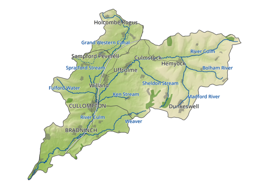
Where will NBS be happening in the Culm catchment?
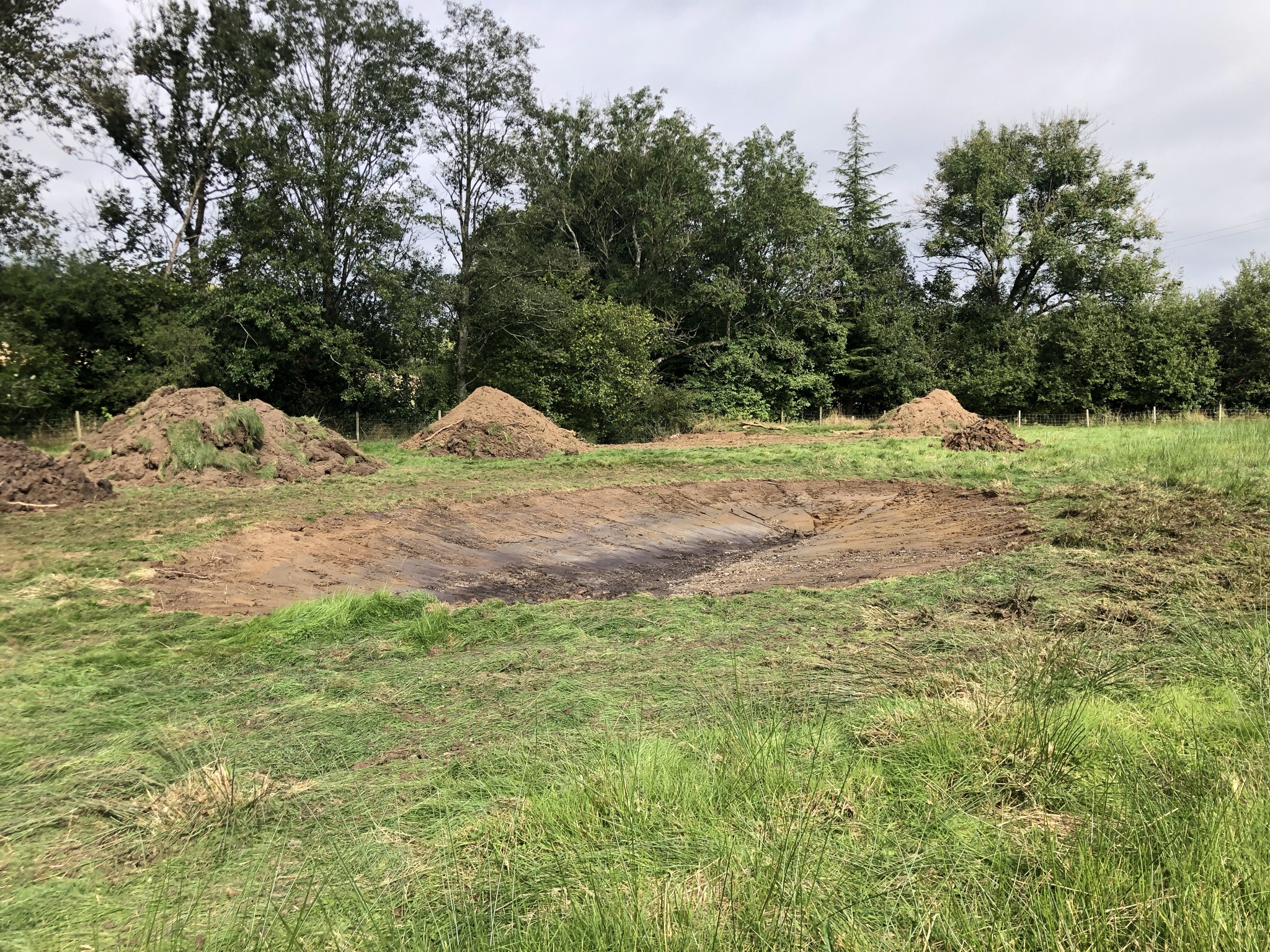
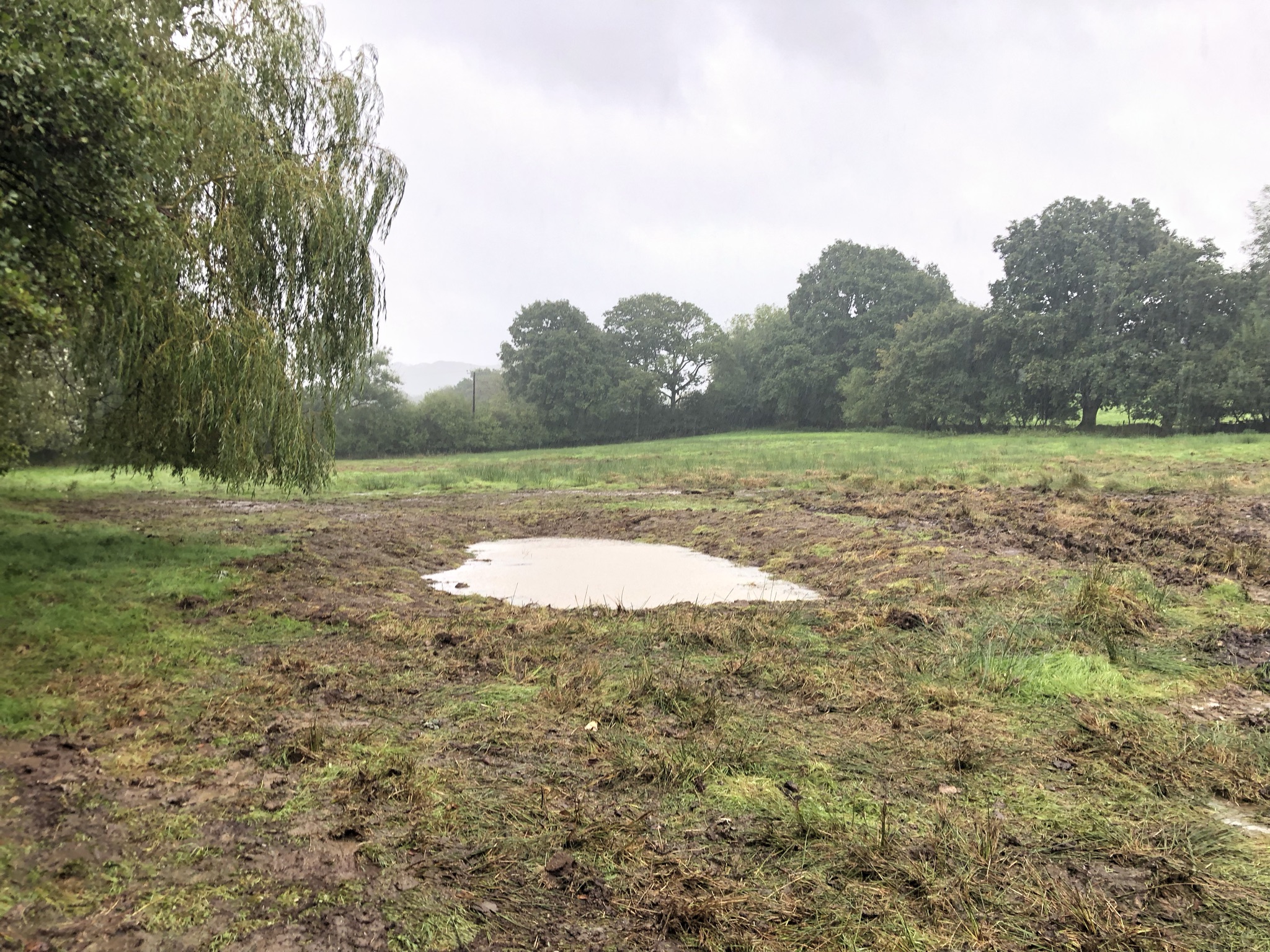
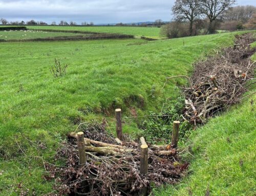
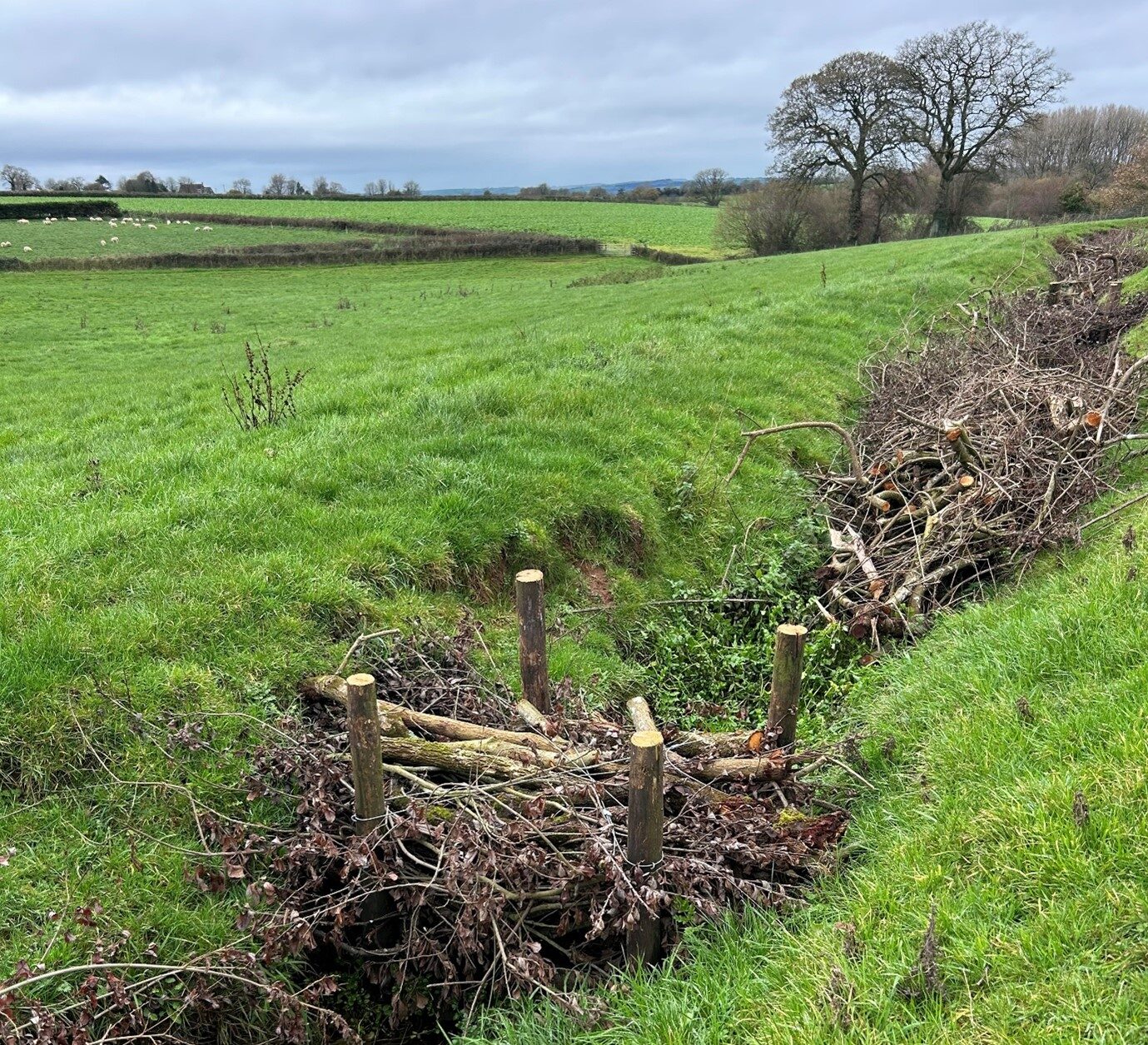
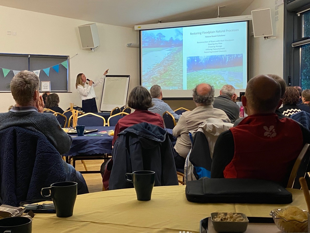
The map below shows where some of the NBS are happening in the Culm catchment and the other image shows an example of a co-created NBS design. These NBS will feature woody dams, water retention ponds, riparian (river bank) tree planting, field/orchard tree planting, earth bunds (embankments/ridges), hedgerows, riverbank lowering (enables floodplain reconnection), floodplain and/or wetland scrapes (shallow depressions with gently sloping edges), hay meadows and cross-track drains (divert runoff into wooded areas). The two photos at the top of this article show the recent creation of scrapes ‘before’ and ‘after’ nature has taken over. The first image shows a scrape with floodplain reconnection in the background. The idea is to slow the flow and store flood waters in the upper Culm for longer periods, improving water quality by allowing sediments to drop out but also reducing flood risk downstream. Further tree planting will also create surface roughness helping to slow the flow. The second image shows the scrape after a few weeks and nature has already begun to improve the shallow depression and sloping edges for wildlife – several insect species have already made these scrapes their home!


One detailed example of where nature-based solutions are going in earnest is at Killerton Estate near Exeter, which is at the lower end of the River Culm, before it meets the River Exe. Working with the National Trust alongside their Green Recovery Fund project, CtC has co-created designs for some nature-based solutions.


Leave A Comment