
Earlier this year Dr. Roger Cutting gave an illuminating presentation for us on the history and benefits of water meadows. Here, he talks about what sparked his interest in the subject, outlines the different types of water meadow and their purpose, and touches on how expanding water meadow research into Devon and the Culm Valley might bring fresh insights into how we manage land and water.
In the mid-1990s I found myself walking across the Town Path in Salisbury. It’s a footpath across the Harnham Water Meadows, with Salisbury Cathedral at one end and a pub at the other. I’ll let you decide my direction of travel. It was late in September, and in the autumnal light, I could make out several curious bumps and lumps in the adjacent fields. I had no idea what they were but later borrowed a book, in which, there was a chapter that dealt with the operation of water meadows in Wiltshire. Now, this book was particularly fascinating, as intriguingly, none of the given explanations held to any laws of science that I was party to!
When we were students, we were told that flooding was generally a bad thing for grasses. When a field floods, the available airspace in the soil is replaced by water. This means that the roots of grasses can’t respire, putting the plants under considerable stress. Also, and without getting bogged down (excuse the pun) in the biochemistry, important nutrients become locked up in forms that plants cannot easily extract. If these conditions continue, eventually toxins are produced that kill the grasses, which are then replaced by plants more adapted to such conditions, such as reeds, rushes, and sedges, along with non-vascular plants such as mosses. None of this is particularly good for producing lush grazing land, and yet that is exactly what these irrigation systems did. Not only do the grasses appear to survive months of flooding, but they also actually flourish.
This apparent conundrum eventually took me down the path of trying to understand what was happening, as nowhere was there a recorded science, beyond early Victorian’s writing that it had something to do with phlogiston. At the same time, colleagues with an interest in landscape history had noticed that, while water meadows are well described in the 18th and 19th century literature, they are often overlooked in the 20th century. Buy a book on wetlands printed before 2000 and the chances are you’ll have bought a book on land drainage. Our written history of English wetlands is the history of their destruction. This is a curious omission, given the extent to which water meadows dominated the valley floors of southern England. By the late 19th century, it’s estimated that there were hundreds of thousands of hectares of water meadows in southern Britain alone.
As a result of all this, by the end of the 1990s, I was part of a water meadow research group, made up of eight people, working across three institutions. Between us, we were putting together a story of the science, ecology, and social history of water meadows. Despite them being such important features in the English landscape, such a complete story had never really been told.
What is a water meadow?
Before explaining further, it might be worth quickly reviewing what a water meadow is and considering three primary types of their management.
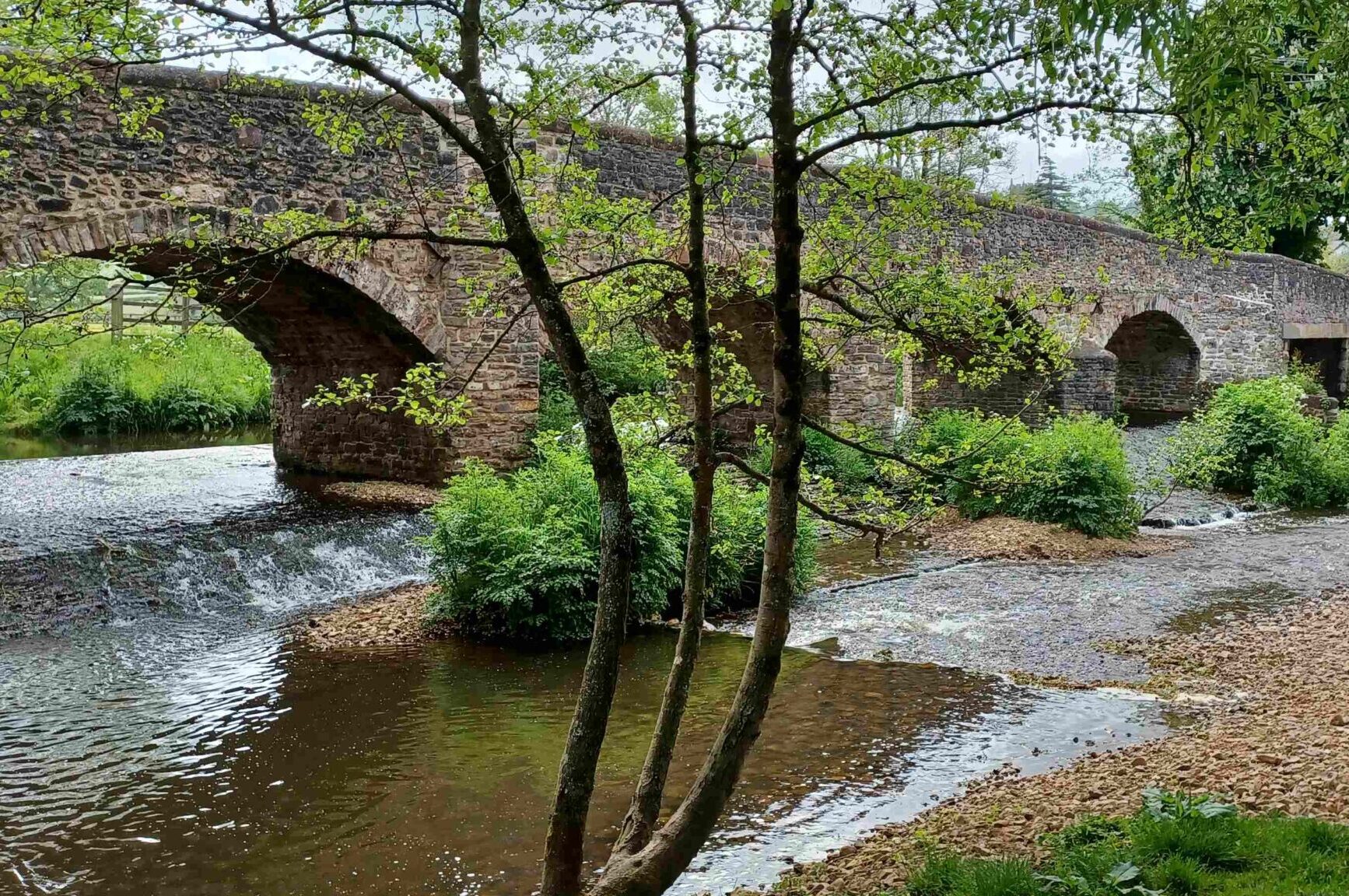
A water meadow can be defined as an area of land that is deliberately flooded at the behest of the landowner, or farmer. ‘Deliberately flooded’ is the key phrase here. Naturally flooding land may be referred to as simply flood plain meadow. This is an important distinction to make, as the simplest type of water meadows are generally located where floods tend to occur. These are known as ‘flood’ or ‘floating up’ meadows, and importantly the flooding is deliberate and controlled. Fields adjacent to the river are allowed to flood but the water is only allowed to stand for a few days to let nutrient rich sediment to be deposited. After this time the water is allowed to drain back into the river.
The other two types of water meadows are very different in that they are flooded for months over the winter period, and both are engineered to make water flow continuously in sheets (known in hydrological circles as unconfined flow) across the meadow.
The first type is known as a ‘catch’ or’ catchwork’ meadow and, perhaps counterintuitively, these are located on hillsides. Here, where conditions allow, water from a downhill stream is directed along ditches, or carriers, that follow the contours. They are simply allowed to fill and overflow, allowing the water to cascade downhill in shallow sheets.
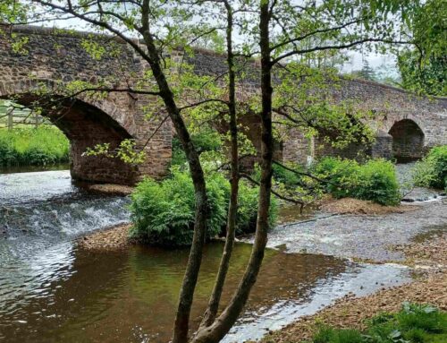
The mechanisms by which grass growth is stimulated in catchwork water meadows are similar to those associated with the third form of water meadow; the’ bedwork’ water meadow. These mimic catchwork meadows in that they also require water to flow downhill through the grass but here it is achieved by building artificial slopes in the valley floors, as seen in the Britford Water photo below. Low ridges are built across the fields, on top of which channels are cut. These channels, sometimes known as drawns, are allowed to fill with water extracted from nearby rivers. They will quickly overspill, allowing sheets of water to flow down through the grass to be collected in drains and returned to the river further downstream. This type of management is known as ‘drowning’.

The ridges, or beds, built at Britford Water Meadows, south of Salisbury. The top channels fill with water, which then flows down the sides of the ridge and is collected in the drains. This constant flow of water will be maintained over the winter months.
Why was water managed in this way?
At this point, you may be wondering what the point of all this considerable effort and cost was. Essentially, it was to promote the growth of grass, particularly in late winter, when winter fodder was scarce, and again in the summer when an enhanced hay crop could be cut.
In catchworks and bedworks water meadows, there are two systems of hydrological management that involve flooding grasslands for two to three months during the winter. Although these conditions would typically be harmful to grasses, in this case, they thrive and even outcompete other plant species. My role as an environmental scientist in the research group was to investigate the reasons behind this phenomenon.
The physical and biochemical processes occurring in water meadows are complex, so what follows is a broad overview. One of the simplest processes to understand is how water keeps the soil warm during winter. In temperate regions, water that emerges from an aquifer has a temperature of about 8°C. When this water flows across fields, it raises the soil temperature to match. Thus, river water functions similarly to modern horticultural fleece, helping to keep the soil warm throughout the coldest months of winter.
Furthermore, river water is rich in nitrate and phosphate, both of which are important macronutrients for plant growth. Nitrate is highly soluble and moves quickly through the system, but it is continually replenished by flowing water, making it readily available for plant uptake. In contrast, phosphate is not very soluble; instead, it attaches to particulate matter. Consequently, river sediment is rich in phosphate, which is effectively filtered out by grass (shown in the photos below). Thus, there is a significant input of both nitrate and phosphate into the ecosystem.

A sample of highly turbid water coming onto the Harnham Water Meadows, in Salsibury.

A sample of the water returning to the river having passed through the sward at Harnham Water Meadows, in Salsibury.
The movement of water across the surface of the meadows leads to high levels of aeration. While this oxygen in the water is not available for plant uptake it is nevertheless important in fending off many of the negative biochemical processes that would normally be associated with flooding.
So, in review, during these periods of flooding, the system is consistently supplied with nitrogen, and phosphate is filtered from the water, making both essential nutrients available to plants. The soil remains warm, and the oxygenated water helps prevent potentially harmful biochemical processes.
When the hatches are closed in late winter the meadows drain very rapidly and the airspaces in the soil return. Within 24 hours the meadows soils are at field capacity, in other words the soil contains an optimal amount of water. The arrival of oxygen in a gaseous form suddenly removes the environmental stress the plants have been under. In these warm, moist soils, the bacterial populations also recover helping to increase nutrient loading. What follows is a quite spectacular growth of grass. I have walked across meadows a week or so after they have been drained and not only is the grass already shin deep, but its early growth outcompetes other plants and significantly improves the sward.
Looking to the future
As you can imagine, there is much more to the science of these meadows, and here I have only provided a very brief overview. However, understanding how these ecosystems function provides fascinating insights into a sustainable, environmentally benign agricultural system. We may be able to utilise certain aspects of these systems as we search for solutions to the environmental challenges we face today.
Looking to the past for future solutions is not uncommon, but the historical importance of water meadows has been largely forgotten over the years. We thought, back in the day, that understanding the operation of water meadows and re-establishing them as significant elements of English landscape history could represent a crucial step toward acknowledging the valuable contributions that these unique systems can provide for environmental conservation, both now and in the future. We still do.
Water Meadows in Devon and the Culm Valley
While Wessex, comprising parts of modern-day Hampshire, Wiltshire, Dorset, and Somerset, has been the primary focus of water meadow research due to its well-preserved systems and historical records, expanding this research to Devon offers new insights.
Extending this focus westwards to the neighbouring county of Devon certainly opens new avenues for exploration and understanding. One notable aspect of Devon’s agricultural history is its strong connection to early irrigation systems. Research into ancient irrigation techniques along the River Culm, for example, has revealed evidence of sophisticated water management practices that predate the well-known Wessex systems.

Map of Waye Mill on the River Culm. 1603. Courtesy of Exeter City Library.
Extending research into Devon could uncover forgotten or less documented examples of water meadow systems that were adapted to the local environment. Additionally, Devon’s more diverse agricultural economy, which historically included dairying, arable farming, and wool production, offers an interesting comparison to Wessex, which was often more focused on sheep farming.
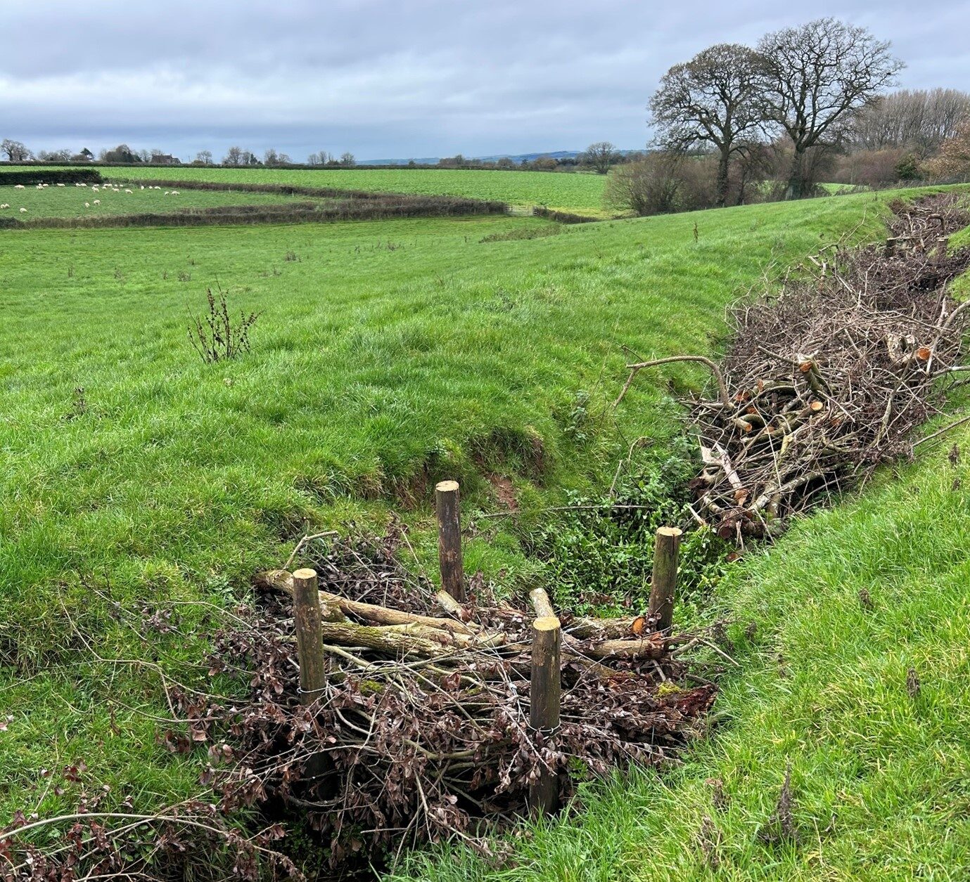
The county of Devon is undoubtedly characterised by its varied topography but the uplands Exmoor, with its steeply incised valleys provided ideal topographic conditions for the construction of catchwork water meadow systems. Indeed, a search on the Heritage Gateway website returns 577 potential catchwork sites recognised in the Exmoor National Park Heritage Environmental Record (HER). Unsurprisingly, this area has often been the focus for historical research into these systems and, at Combe Martin on the River Umber, they have also seen recent restoration as part of a flood resilience programme.
However, elsewhere in Devon the broad river valleys, with the presence of rich alluvial soils, also present an ideal environment for the development of traditional bedwork water meadows. Again, the Heritage Gateway identifies evidence for 382 water meadow sites in Devon, compared to 204 potential sites in Wiltshire. Furthermore, variations in the natural landscapes between Devon and the counties of Wessex, although at times subtle and nuanced, may have differently shaped the ways in which bedwork water meadows were built and operated. Devon provides some insights into how water meadow management techniques varied in relation to geography, local resources, and agricultural practices.
In Wessex, the techniques of constructing bedwork water meadows are well-documented, often utilising the natural flow of rivers and adjacent carriers to provide a sufficient ‘head’ to facilitate the flow of water across the meadows. These bedwork systems are also to be found in the wider river valleys of Devon. A particularly well preserved and extensive bedwork meadow system can be found at Escot Park on the River Otter.
However, in areas where steep river valleys and smaller tributaries predominate, the construction of water meadows may have required more localized techniques. It is possible that the layout of the systems in Devon was more decentralized, with smaller, individual landowners managing their own irrigation systems. A recent GIS survey of the River Culm, carried out by Fjordr Ltd and commissioned by the Connecting the Culm Project, identified evidence for 98 catchwork and 88 bedwork water meadows in the Culm Valley. The confined, steeper valleys of the upper Culm provide ideal topography for catchworks and, as the valley widens, downstream, the valley floor provides the required conditions for bedwork systems. The presence of both types of meadow in one river catchment may not be unique, however, in Devon, there are a number of examples of what may be called ‘hybrid’ systems.
Such hybrid systems may be found on the River Culm and involve water from the catchworks built on the valley sides, not being returned directly to the river but rather, subsequently, being channelled to support bedwork meadows constructed on the valley floor. The suggested distribution down river would initially be catchworks in the upper valley, then, as the valley floor widens, there is the potential for these hybrid systems, In the lower catchment, where the valleys are wider and valley sides are reduced, bedworks of the traditional Wessex Model predominate. It appears therefore that Devon’s more hilly and accentuated terrain has seemingly led to different solutions to water meadow management. These hybrid systems may perhaps, be more gracefully termed the ‘Devon Model’.
Extending the focus of water meadow research to Devon offers a valuable opportunity to broaden our understanding of these fascinating landscapes. Variations in physical geography and agricultural history, have combined to provide adaptations in water meadow design and management. GIS surveys, archive research, and initial field investigations have provided intriguing evidence. By examining how water meadows developed and functioned in Devon, we can begin to appreciate subtle geographical variations in water meadow design and operation. This can only contribute to a more comprehensive understanding of these important and often overlooked facets of our landscape history. I hope that this potentially new area of research inspires new researchers, in the same way that these meadows inspired us.

Leave A Comment